Put in an address. It finds everything.
Thirty-eight public records for any West Michigan property, read in one pass and shown on one map. Free.
What the lookup looks like
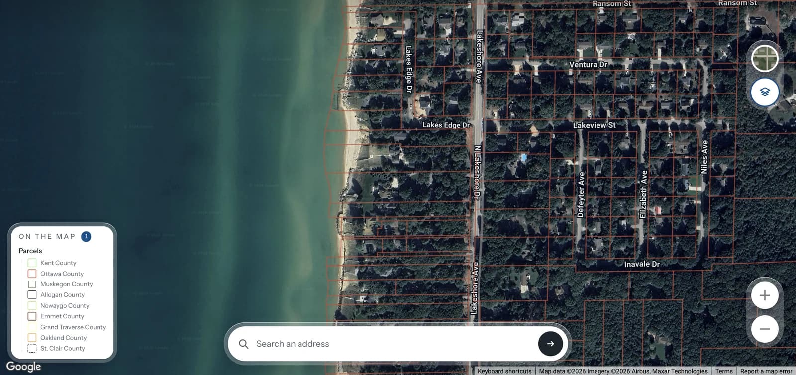
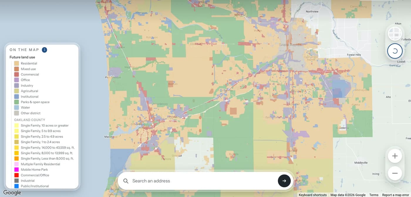
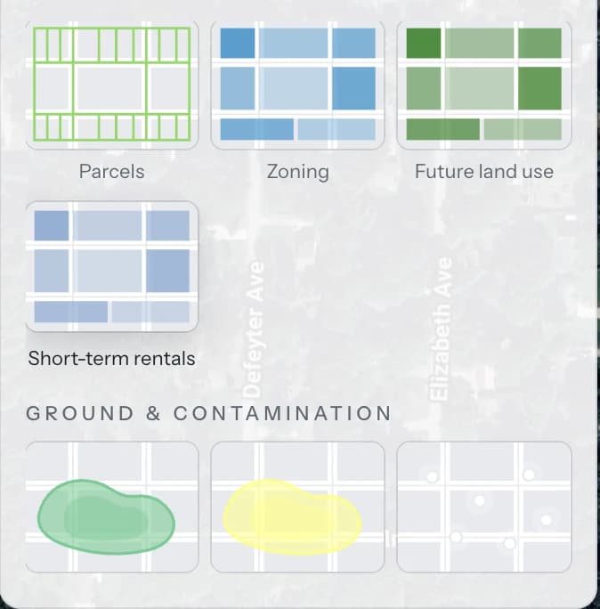
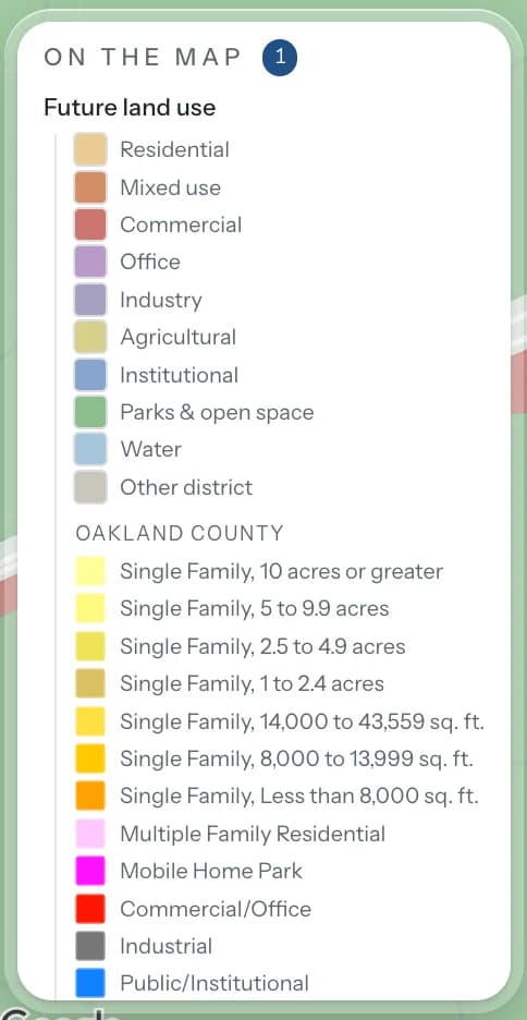
One pass, 38 public records
Everything on the record,
read at once
All of this is public and all of it is free, and almost nobody looks it up, because it means finding six agency map viewers and knowing what to type into each one.
The record
- Parcel and assessmentCounty
- Zoning and future land useMunicipal
- School district boundaryState of Michigan (DTMB)
- Short-term rental rulesMunicipal ordinance
Water and hazard
- FEMA flood zoneFEMA
- High-risk erosion areaEGLE
- Critical dune areaEGLE
- WetlandsEGLE and NWI
- Coastal zoneEGLE
- Lake levelNOAA · near the shore
- Streams and water bodiesUSGS
- Lake depth surveyMichigan DNR and NOAA
- Trout streams and Natural RiversEGLE
- Coldwater streamsEGLE
- Trout and salmon lake rulesEGLE
- Watercraft and no-wake controlsMDNR
- Boating access sitesMDNR
- Harbours and marinasMDNR
- DamsNational Inventory of Dams
- Fish contaminant samplingEGLE
- Charted navigationNOAA
- Water trailsMDNR
Climate and hazard
- National Risk IndexFEMA
The ground
- Soil surveyUSDA
- Well recordsEGLE
- Contamination sitesEGLE
- Ground elevationUSGS · supplementary
- Hydric soilsEGLE
- Wellhead protection areasEGLE
- Brownfields and recorded restrictionsEGLE
- Landfills and historic dumpsEGLE
- Oil, gas and mineral wellsEGLE
Around it
- Traffic countsMDOT · supplementary
- Population estimateUS Census
- County sale pricesRedfin Data Center
- TrailsMDNR
- Public and conservation landEGLE
- National Register of Historic PlacesNPS
Every one of them is asked at the same time and every one of them is reported, including the ones that came back empty and the ones that could not be reached at all.
Built for West Michigan.
Honest about the edges.
Kent, Ottawa, Muskegon and Allegan are what this is built for and where the map layers are deepest: the lakeshore from Muskegon down past Saugatuck, and inland across Grand Rapids. The federal and state records — FEMA, EGLE, USDA, USGS — cover the whole of Michigan. The parcel and assessment record is the thing that runs out, county by county, and it currently reads 21 of them directly.
Parcel records read directly
Ottawa · Muskegon · Allegan · Van Buren · Kent · Kalamazoo · Newaygo · Montcalm · Eaton · Oakland · Jackson · Emmet · Leelanau · Antrim · Charlevoix · Bay · Arenac · Lapeer · Gladwin · Ionia · Barry
Zoning and future land use are published by individual municipalities rather than by the state, so their coverage is patchier still. Where a layer exists it is read and the publisher is named. Where one does not, the report says the record could not be reached, never that the parcel is unzoned. More layers are added as they are published.
What it cannot tell you
Three things no map settles. The report says so where they apply, and names who does settle them.
The boundary
Parcel polygons come from the assessor and are drawn from the legal description, not surveyed. Where a fence line or a frontage figure matters, that answer costs a few hundred dollars and comes from a licensed surveyor.
Easements and restrictions
Nothing recorded against the title appears on any map. A title search is the only thing that finds a shared driveway agreement, a utility easement or a deed restriction.
The building
Roof, foundation, furnace, septic field, and whether that fourth bedroom was ever permitted. That is an inspection, the municipal building department and the county health department, and the report says so where it applies.
Put in an address and see
It is free, there is nothing to sign up for, and the same checks run that would run on a property Rennie was representing.